
/ Travaux réalisés
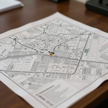
Des cartes qui font foi
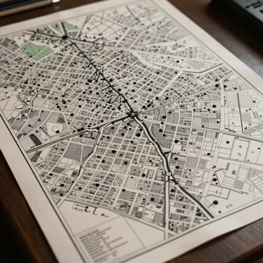
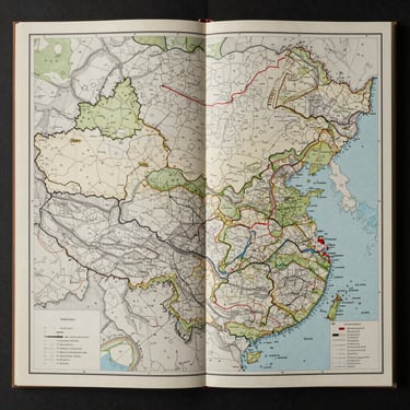
Planification urbaine, administration territoriale, foncier, recherche scientifique. Chaque projet livré dans les normes de projection et de restitution en vigueur.
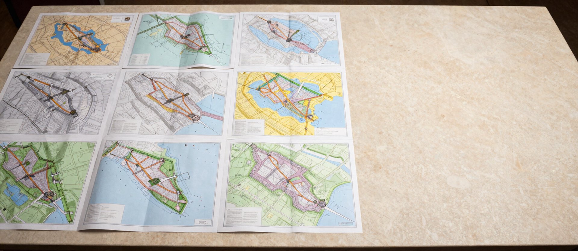
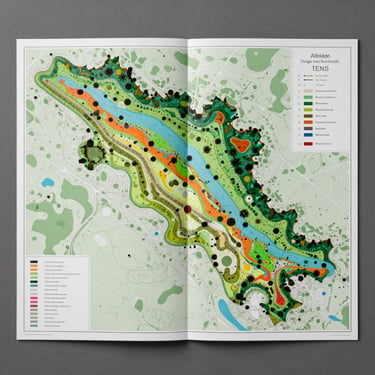
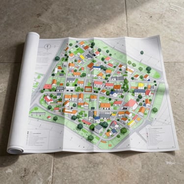
Sélection de réalisations

— Exigence de production
Prêt à publier dès la première version
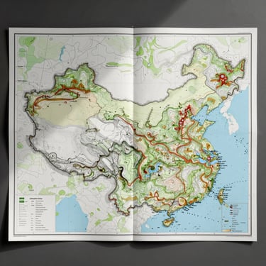
Projection vérifiée, sources documentées, couleurs étalonnées pour l'impression. Du cadastre de quartier à l'atlas thématique national — chaque livrable respecte les normes institutionnelles en vigueur.
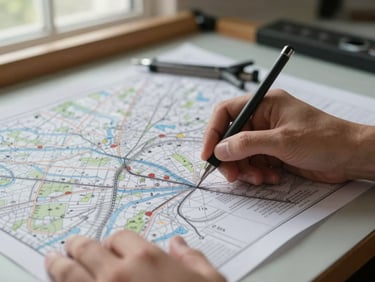
Les données sources — IGN, Copernicus, archives cadastrales — sont citées et traçables. La hiérarchie graphique est choisie, pas générée automatiquement.
Un projet en cours ? Soumettons-le.
Décrivez votre besoin cartographique — périmètre, usage, format de livraison. Nous répondons sous deux jours ouvrés avec une première évaluation.